Our Spatial Solutions Service
The International Governance and Sustainability Institute (G-SI) is proud to announce the launch of its new service line, IG-SI Spatial Solutions, which is dedicated to providing comprehensive satellite imagery procurement and analysis services. In an era where accurate, real-time data is crucial for informed decision-making, IG-SI Spatial Solutions stands at the forefront of technological advancement, offering unparalleled access to high-resolution satellite imagery and cutting-edge analytical expertise.
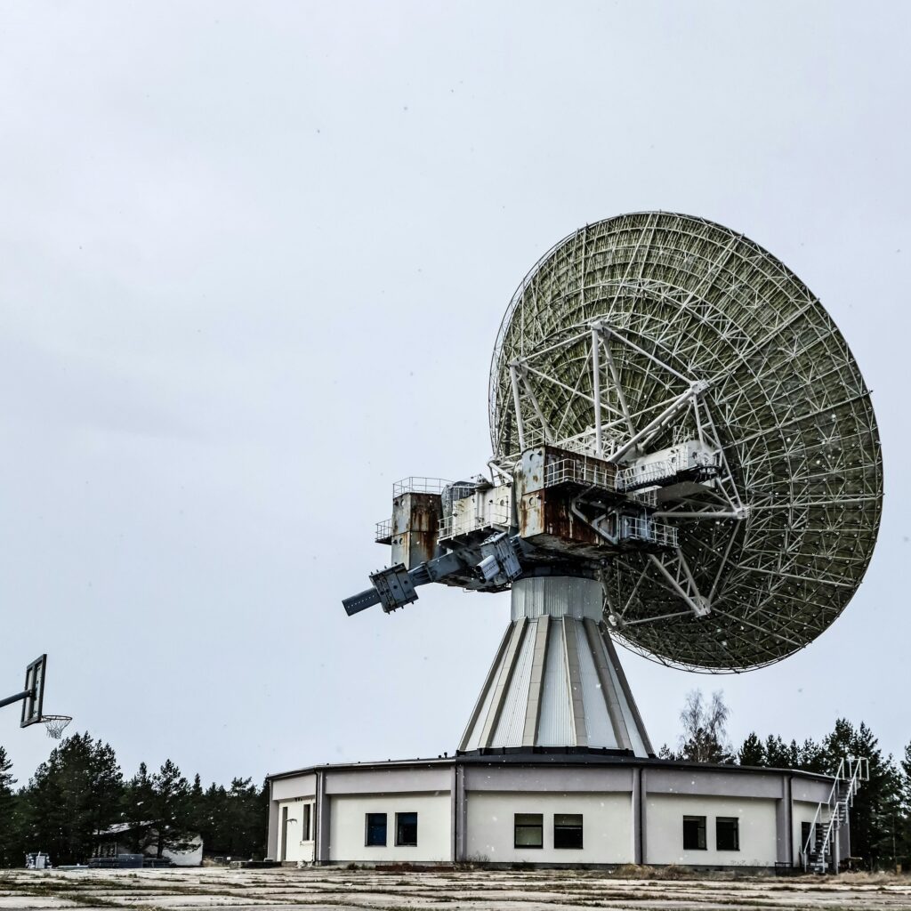
Procurement of Satellite Imagery
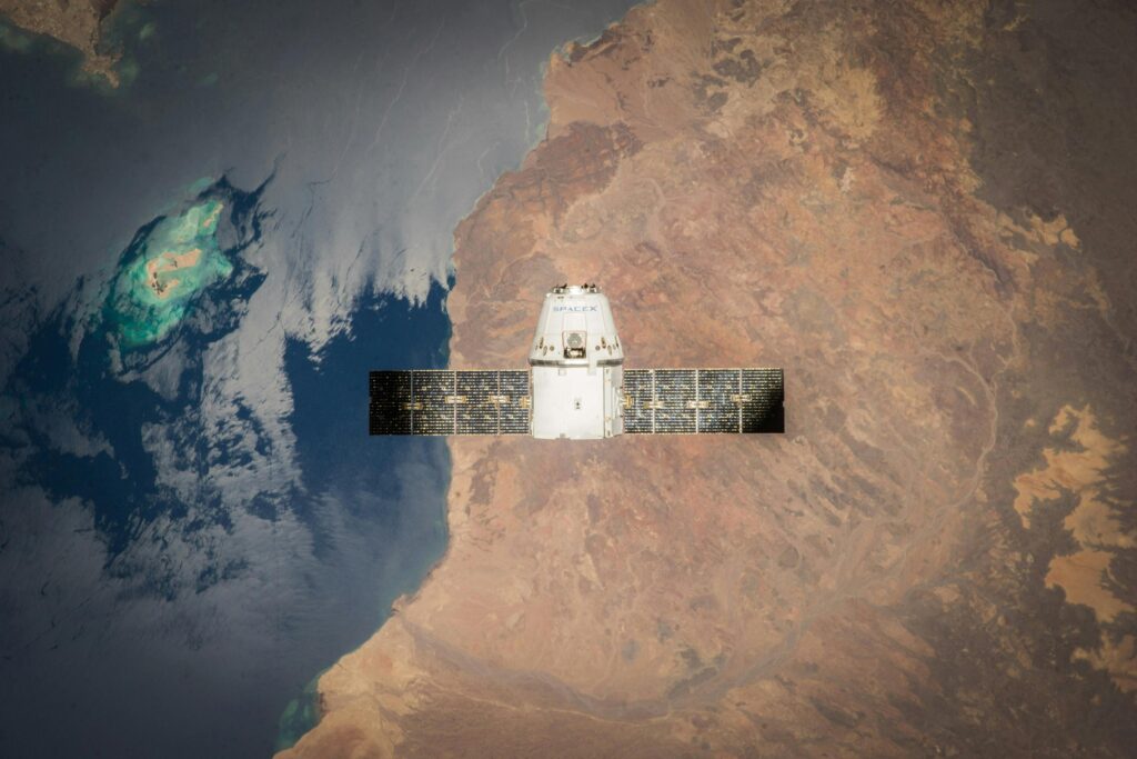
IG-SI Spatial Solutions specializes in the procurement of both tasking for new satellite imagery and archival data. Our extensive network of satellite partners enables us to deliver high-resolution images tailored to the specific needs of our clients.
Whether you require fresh data for ongoing projects or historical imagery for comparative analysis, IG-SI Spatial Solutions ensures timely and precise delivery of satellite images. Our tasking services include scheduling satellite passes to capture new imagery at optimal times, ensuring the highest quality and relevance for your projects.
Applications and Benefits
The applications of IG-SI Spatial Solutions’ services are vast and varied. Governments, NGOs, and private sector organizations can all benefit from our expertise in satellite imagery and analysis. Our services support disaster management by providing rapid assessment of affected areas, aid in monitoring environmental changes, assist in agricultural planning, and contribute to urban development and infrastructure projects. The benefits of using satellite imagery are manifold, offering a bird’s-eye view that ground-based surveys simply cannot match. With IG-SI Spatial Solutions, you gain access to precise, comprehensive data that enhances efficiency, reduces costs, and improves outcomes.
Commitment to Excellence
At IG-SI Spatial Solutions, we are committed to excellence in every aspect of our service. Our team of experts is dedicated to staying at the cutting edge of satellite technology and analytical methods, ensuring that our clients receive the most accurate and relevant data available. We pride ourselves on our ability to deliver customized solutions that meet the unique needs of each client, fostering long-term partnerships built on trust and reliability.